Krakatoa eruption

Kumelz · CC BY-SA 4.0
- location
- Sunda Strait, Dutch East Indies (modern-day Indonesia)
- volcanic_explosivity_index
- 6
- energy_released
- Estimated 200 megatonnes of TNT
Lore & Background
On 26 August, the eruption entered its climactic phase. By 2:00 p.m., a black ash cloud reached 27 km high. Explosions were audible across Java, and waves about a metre high began battering coasts. On 27 August, eleven enormous explosions occurred. The sound ruptured eardrums of sailors 64 km away and caused a pressure spike in Batavia's gasometer. The pressure wave circled the globe more than three times. The island collapsed into a caldera, destroying over 70% of it. Tsunamis estimated over 30 m high struck the Sunda Strait, submerging islands and destroying towns such as Merak.
Reader's Guide
Its estimated volcanic explosivity index of 6, the loudest sound ever measured, and the global pressure wave that circled the Earth three and a half times demonstrate the immense scale of the eruption. The collapse of the island into a caldera and the pyroclastic flows that affected the Sunda Strait and Sumatran coast illustrate the complex mechanisms of such eruptions. The energy released, estimated at 200 megatonnes of TNT, makes it one of the most powerful explosions in recorded history. The eruption's legacy endures in volcanology as a case study of explosive volcanism, tsunami generation, and global acoustic phenomena.
Did You Know?
- The pressure wave from the eruption circled the globe more than three times and was recorded on barographs worldwide.
- The energy released by the eruption has been estimated to be about 200 megatonnes of TNT, roughly four times as powerful as the Tsar Bomba.
- The town of Merak was destroyed by a tsunami that was 46 metres high.
From Ash to Island: The Regrowth of Krakatoa
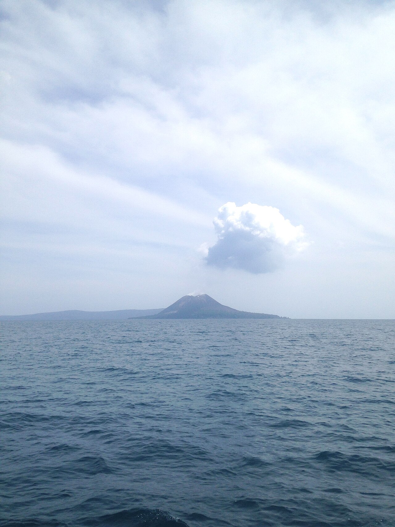
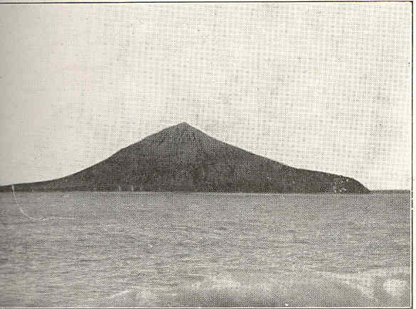
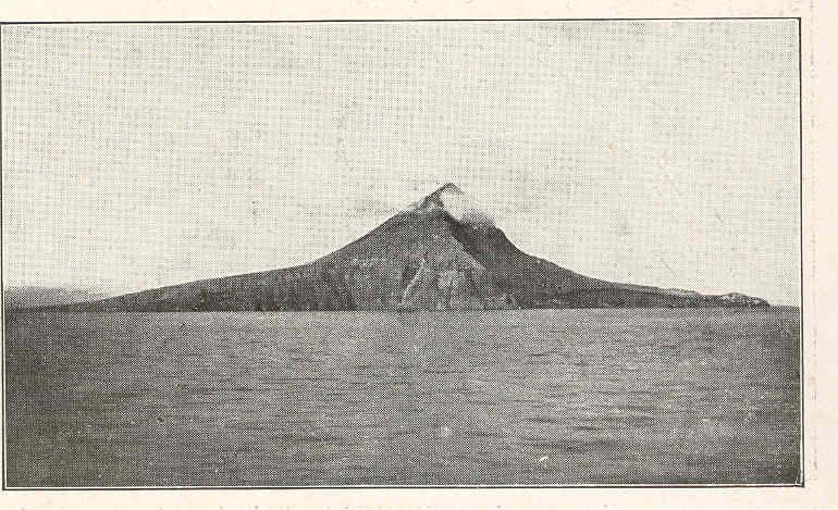
The 1883 cataclysmic eruption of Krakatoa was so violent that it stripped away roughly two-thirds of the original island's mass from its northwest flank, erasing the peaks of Perboewatan and Danan entirely. What remained was only the southern portion, anchored by the Rakata volcano, while the vanished territory was swallowed by a shallow sea. For over four decades, that caldera lay quiet. Then, in early 1927, volcanic activity stirred at the precise point where the two lost summits had once stood. A tiny island briefly broke the surface, only to be drowned by ocean swells within a week. Over the following three years, this cycle of emergence and submersion repeated itself several times, each new landform undone by rain and waves once the volcanic energy paused. It was not until 11 August 1930 that a permanent island finally held its ground above the waterline, earning the local name Anak Krakatau—literally, the child of Krakatoa. From that point forward, the young volcano grew steadily, its summit climbing at an average pace of seven to nine meters each year all the way through September 2018.
Geological Identity: A Young Volcano in the Ring of Fire
Anak Krakatoa sits in the narrow Sunda Strait, the waterway separating Java from Sumatra, within the Indonesian province of Lampung. The island falls inside Ujung Kulon National Park and occupies a position along the Pacific Ring of Fire, one of the most seismically active zones on Earth. Approximately 700 kilometers to the south, the Sunda Trench marks the boundary where the Australian Plate slides beneath the stationary Sunda Plate, generating the tectonic pressure that fuels the region's volcanism. The oceanic crust beneath the island is relatively thin, measuring under 25 kilometers. In geological terms, Anak Krakatoa is extraordinarily young, having formed within the very caldera carved out by the 1883 explosion. The entire structure is classified as a Somma-stratovolcano system of the late Holocene epoch, crowned by a pyroclastic cone. Its rock composition is dominated by andesite, dacite, and basalt, with only trace indications of trachyte. Before the catastrophic 2018 event, the island's summit reached 338 meters above sea level, a modest height for a volcano that had been building for barely a century.
The 2018 Collapse and the Tsunami That Followed
By mid-2018, Anak Krakatoa had entered a fresh eruptive phase, and on 15 October a powerful Strombolian-to-Vulcanian episode hurled lava bombs into the surrounding sea. The true catastrophe arrived on 22 December, when a massive sector collapse of the volcano's southwest flank, including its summit, triggered a tsunami with waves reaching five meters in height. The disaster struck more than 300 kilometers of coastline along both Sumatra and Java, displacing 40,000 people and leaving 437 dead and over 14,000 injured by year's end, making it the second deadliest volcanic eruption of the twenty-first century. This was not an unforeseen risk: as early as 2012, volcanologists at the University of Oregon had warned that a flank collapse producing a tsunami was a probable scenario, given the island's position on the steep slope of the 1883 caldera. Six years before the event, scientists had modeled the hazard and identified the western flank as the most vulnerable section. Satellite imagery and helicopter footage captured the next day confirmed the collapse, revealing the main conduit still erupting beneath the waves in Surtseyan-style activity. The island lost more than two-thirds of its volume, and its elevation plummeted from 338 meters to just 110 meters.
A Volcano That Will Not Rest: Eruptions and Rebuilding
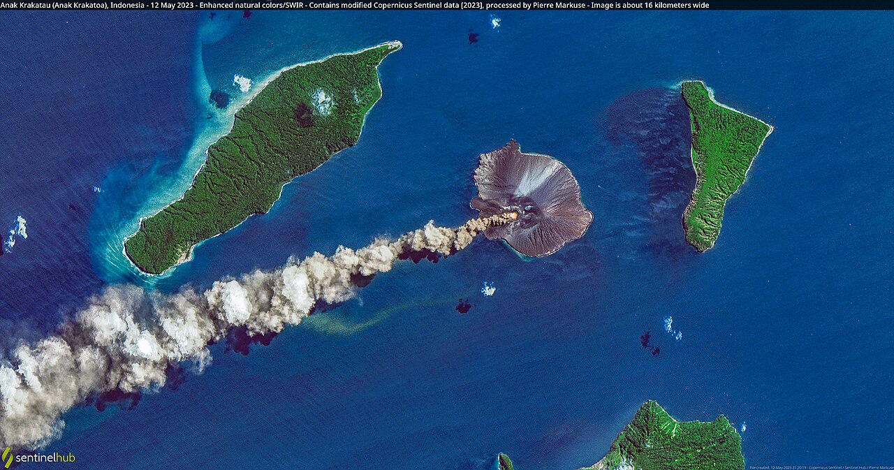
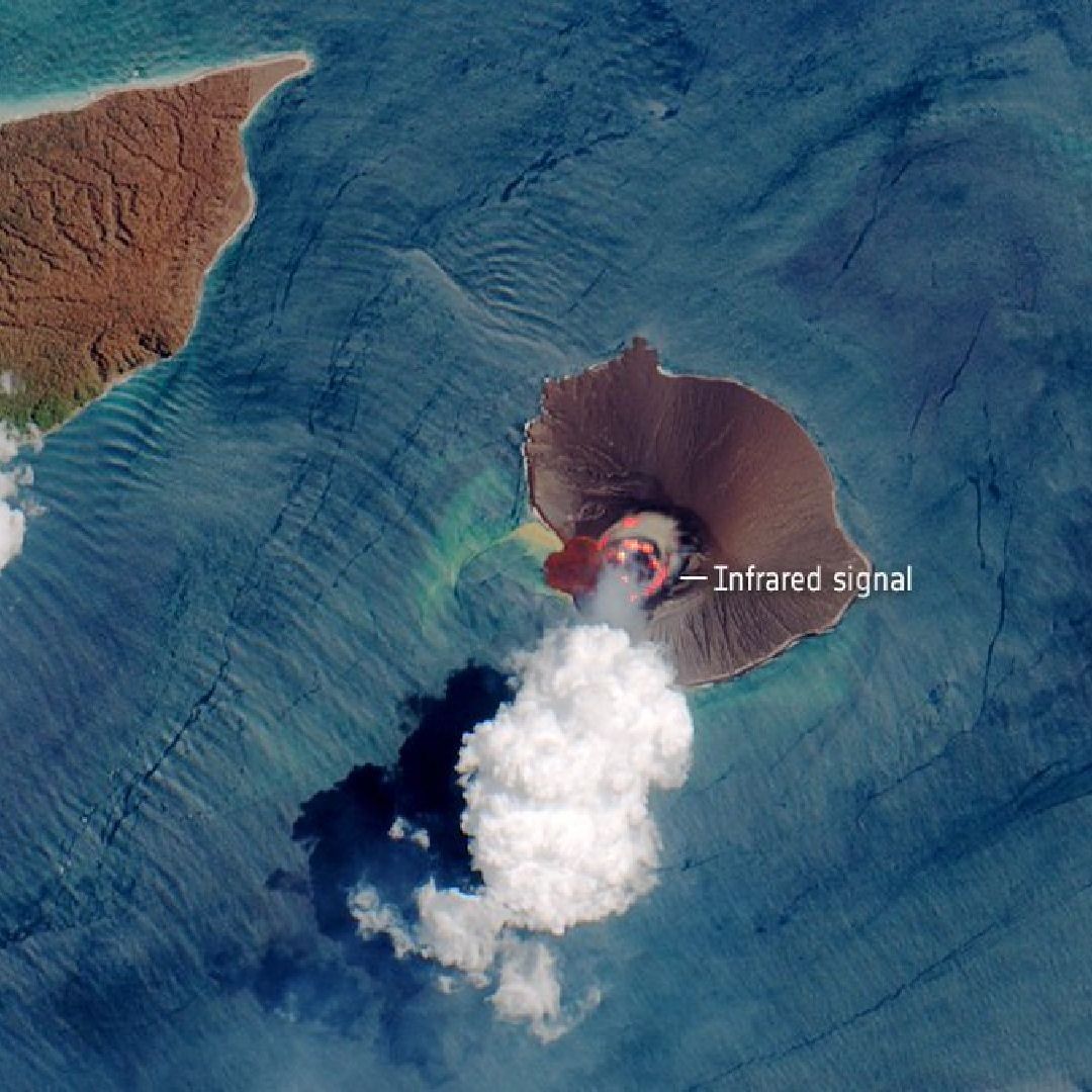
From its permanent emergence in 1930, Anak Krakatoa has never truly gone silent. The most sustained eruptive episode began in 1994, a period in which brief lulls of a few days alternated with nearly continuous Strombolian activity. In April 2008, the volcano vented hot gases, rock fragments, and lava, prompting authorities to enforce a three-kilometer exclusion zone. By May 2009, Indonesia's Volcanological Survey raised the alert to Level 3 after an expedition discovered a 100-meter-wide lava dome growing inside the crater. Even after the devastating 2018 collapse, the volcano refused to stop. By January 2019, satellite radar showed the remnant structure already being reshaped by fresh eruptions, and the crater had regrown a complete rim above the waterline. Phreatomagmatic activity in May 2019 signaled continued growth. The eruption of 10 April 2020 was so powerful that its rumble could be heard in Jakarta, more than 150 kilometers distant, while an ash column rose 14 kilometers and lava fountains lit the sky. Further eruptive cycles followed in 2022, 2023, and into 2026, each one a reminder that this young island is still very much in the process of being born.
Gallery
Frequently Asked Questions
What is Krakatoa eruption's Volcanic Explosivity Index?
The event was assigned a VEI of 6, placing it in the super-colossal tier of volcanic activity. This rating reflects the extraordinary volume of material ejected and the far-reaching effects, from local devastation to measurable changes in atmospheric composition worldwide.
More in Natural Disasters 1-15
Spotted an error? Know more?
This is a living reference — every entry is fact-audited, and reader corrections feed straight into our audit queue. Suggest an edit · See this site's audit record